Most people walk from Manly to North Head for the view. Fair enough — it's spectacular. But between the wharf and the lookout is one of the densest stretches of Australian history on the coast. Forty thousand years of ceremony ground. A quarantine station that was the first piece of Australia many immigrants ever saw. Gun emplacements trained on a harbour that was genuinely afraid of Japanese warships. A cemetery where 242 people are buried — most of them victims of the 1881 smallpox epidemic, dead within sight of the colony they'd spent months trying to reach.
This walk traces all of it, in order. Ten stops, five kilometres, entirely free on foot.
The Walk at a Glance
Five kilometres, one way, two to three hours depending on how long you spend at each stop. The path is mostly paved or well-formed track with one real climb — about 80 metres of elevation behind Shelly Beach — and a few stairs. Nothing technical. You finish at Fairfax Lookout on North Head; from there you can loop back the way you came, catch the 161 bus to Manly Wharf, or walk down to Q Station for a drink at the Boilerhouse Bar.
Start at Manly Wharf. The F1 ferry from Circular Quay drops you directly at Stop One.
Stop 1 — Manly Wharf

The first wharf here was built in 1856 by Henry Gilbert Smith, the English merchant who bought up large tracts of Manly in 1853 and decided to turn it into the "Brighton of the South Pacific." Before the wharf, reaching Manly meant a rough track overland. Smith's wharf — and the ferry service that began in 1854 — transformed the peninsula from bush camp to seaside resort inside a generation.
Look at the building itself: the low pale-brick structure, the timber gangways, the covered walkways that still channel foot traffic the same way they did for steamer crowds a century ago. South-west across the cove is roughly where Governor Arthur Phillip stepped ashore in 1788.
To Stop 2: Walk east from the wharf toward The Corso. Cross the road and follow the harbour foreshore 100 metres to the row of Norfolk Island Pines. Stop where the path meets the water.
Stop 2 — Manly Cove (Kay-ye-my)
The Gayamaygal people called this cove Kay-ye-my. They'd lived and fished here for at least 40,000 years before European contact — bream, flathead, oysters from the harbour supported a year-round population. Shell middens that accumulated over millennia were still visible along the foreshore into the early 20th century.
In January 1788, Governor Arthur Phillip encountered a group of Gayamaygal men here. Impressed by what he called their "confidence and manly behaviour," he named the cove Manly. The name stayed. Within two years, the smallpox epidemic of 1789 had torn through the harbour clans. In November 1789 Bennelong and Colebee were seized on this beach on Phillip's orders, and in September 1790 Phillip himself was speared here at a whale feast. The full story is in why Manly is called Manly.
The Norfolk Island Pines along the foreshore were planted in the Victorian era as part of Smith's resort vision. The sheltered water, the curve of the beach, the view north toward Little Manly Point — all of it is essentially unchanged from the scene the Gayamaygal knew.
To Stop 3: Walk east along The Corso to the ocean end. Cross the road, pass through the archway, step onto Manly Beach. Turn right and follow the promenade 800 metres south.
Stop 3 — Manly Beach: Where Australian Surfing Began
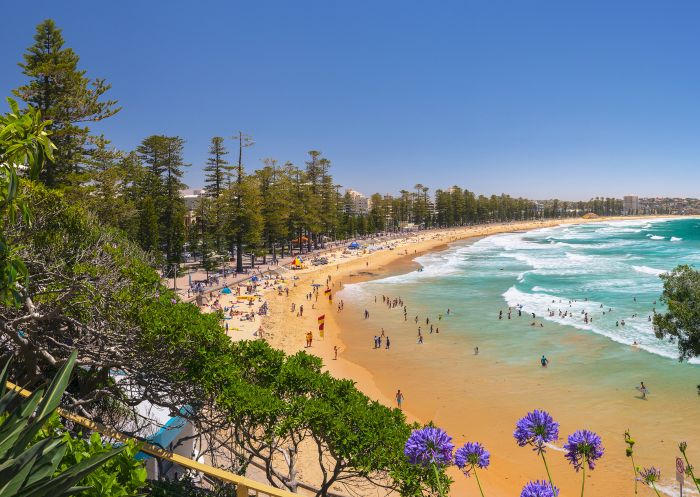
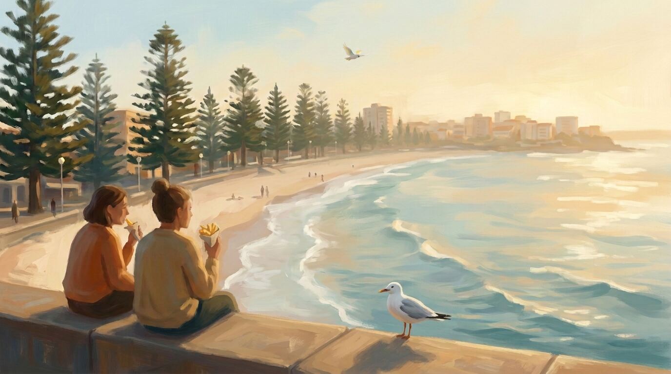
The sweep of sand that was Henry Gilbert Smith's main selling point in the 1850s became, half a century later, the centre of Australian surf culture. In the summer of 1914–15, Hawaiian Olympic swimmer Duke Kahanamoku carved a board from local sugar pine and demonstrated surfing at nearby Freshwater Beach. But it was at Manly that the demonstration caught fire — the first Australian-made surfboards appeared soon after, and by the 1920s Manly was the country's surf capital.
Look for the Manly Life Saving Club at the southern end — one of the world's first, established in 1907 after a string of drownings. The volunteer lifesaving model they pioneered here (reel, line, and belt) was exported worldwide. The current Art Deco clubhouse dates from 1939. There's a bronze plaque on the promenade wall commemorating that first surfing demonstration.
To Stop 4: Continue south along the promenade. At the end of the beach the path curves around the rocks. Follow it 300 metres until you see the triangular pool cut into the rock platform below.
Stop 4 — Fairy Bower Rockpool

At just 20 metres, Fairy Bower is Sydney's smallest ocean pool — and one of its most photographed. Local residents blasted and cut it from the rock platform in 1929, part of a wave of ocean-pool construction between the wars. Before the pool, this was a natural rock shelf the Gayamaygal used for fishing — the Bower's protected corner of Cabbage Tree Bay made it reliable in all but the roughest southerly swells.
The name has a Victorian ring to it for a reason: "Fairy" was 19th-century parlance for a secluded picturesque spot, and "Bower" a poetic term for a shaded retreat. It was a popular picnic destination for ferry day-trippers long before the beachfront was developed. The bronze sculpture of a surf lifesaver and child at the pool's edge was installed in 2002.
To Stop 5: Continue along the coastal path hugging Cabbage Tree Bay. Pass the dive centre and small coves for about 500 metres until the path opens onto Shelly Beach.
Stop 5 — Shelly Beach & Cabbage Tree Bay

Shelly Beach was a food bowl for the Gayamaygal for millennia — sheltered water, abundant shellfish, and fresh water from the stream still running behind the beach. European settlers named it, with characteristic bluntness, for the crushed shells that formed the substrate.
Cabbage Tree Bay became a 20-hectare no-take aquatic reserve in 2002. Blue gropers, wobbegongs, and weedy seadragons are common — swim out from the beach and you'll see why it's protected. During WWII, a steel anti-submarine boom net was strung across the bay between Fairy Bower and Shelly Beach. Concrete anchor points are still visible at low tide on the rocks below the path you just walked.
This is the halfway point and a good place to swim. The water is calm, clear, and west-facing — you're protected from ocean swell.
To Stop 6: At the rear of the beach, take the staircase beside the Boathouse Cafe. Cross the car park and follow the signed Blue Fish Track uphill for about 300 metres.
Stop 6 — Blue Fish Point Lookouts
A series of informal lookouts break through the coastal scrub, each offering a different angle along the cliffs toward Dee Why and Long Reef. Between May and November, migrating humpback whales pass close to shore here.
During WWII this was a strategic observation post — lookouts watched for enemy vessels approaching the harbour entrance. The Blue Fish Track you're walking was originally a military footpath connecting coastal battery positions to the Barracks precinct uphill. The sandstone underfoot is part of the Narrabeen Group, a Triassic formation roughly 250 million years old — the honeycomb weathering and iron staining are textbook Sydney Basin geology.
To Stop 7: Continue uphill 100 metres past the official lookout. Pass through the gate marked "No Dogs Beyond This Point" and follow the paved track 200 metres. Look for gravel paths branching left.
Stop 7 — WWII Gun Emplacements
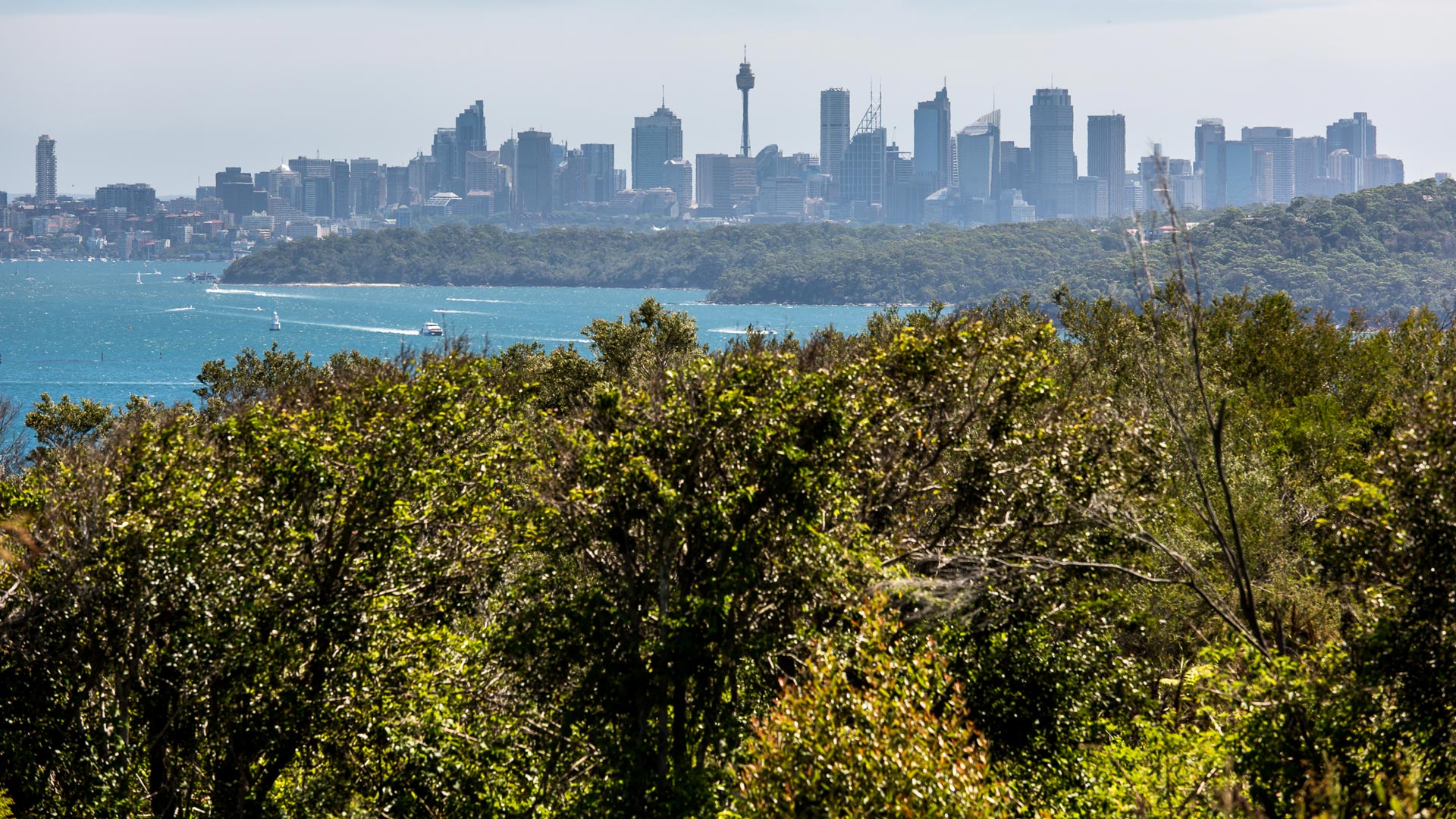
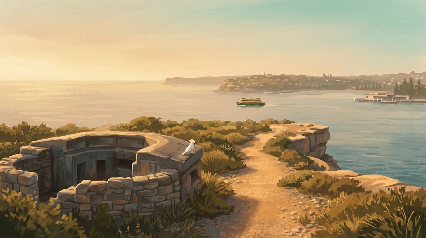
After the fall of Singapore in February 1942, Australia's east coast went onto a war footing. North Head, guarding the harbour entrance, was reinforced with heavy coastal artillery. Two 9.2-inch guns — capable of firing a 170-kilogram shell over 26 kilometres — were installed at North Fort (Stop 10). The smaller emplacements here formed a secondary line aimed at repelling landing parties on the beaches below.
Within 100 metres you'll find three separate gun-pit sites with concrete foundations, ammunition lockers, and mounting rings intact. The commander's observation post sits slightly above the bush line. The gun arcs are still visible in the concrete — stand where the gunners stood, tracking ships through the Heads.
The feared Japanese naval assault never came, though three midget submarines did enter the harbour in May 1942. One was depth-charged near the Heads. The guns stayed active until the coastal artillery network was disbanded in the 1950s.
To Stop 8: Return to the paved track and continue north. After 300 metres, cross North Head Scenic Drive (watch for cars). Follow the boardwalk 500 metres to the Barracks Precinct.
Stop 8 — Barracks Precinct & Parade Ground
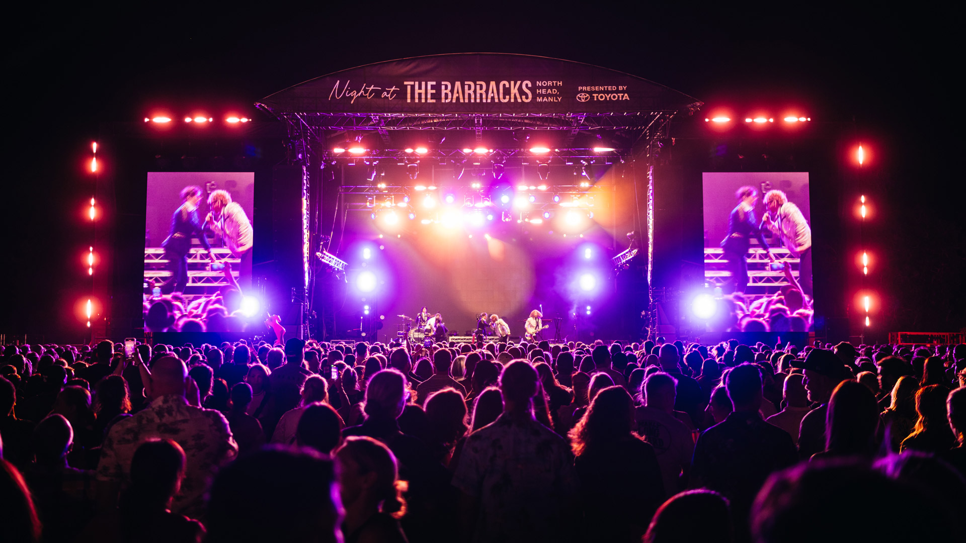
The School of Artillery moved to North Head in 1936, making this the training ground for Australia's coastal and field gunners throughout WWII. The broad rectangle of grass where generations of soldiers drilled now hosts open-air concerts and picnics. The surrounding red-brick barracks buildings, built for the School, still bear their military-era signage.
The Australian Army withdrew in 1998 and the land transferred to the Sydney Harbour Federation Trust in 2001. The contrast between the regimented geometry of the parade ground and the wild coastal heath around it is one of the walk's stranger pleasures. A Visitor Centre (open 10am–4pm daily, volunteer-dependent) has maps and displays. The precinct is also the centre of North Head's wildlife: an endangered long-nosed bandicoot population lives in the heath around you, and the headland carries more than ninety bird species. Our Manly wildlife guide has the detail.
To Stop 9: Walk north past the Visitor Centre. Take the signed Sanctuary Loop path on your left. Follow it 400 metres through hanging swamps and boardwalks to the signposted turnoff for the Third Quarantine Cemetery.
Stop 9 — Third Quarantine Cemetery
Weathered sandstone and marble headstones scatter across a sloping lawn with deep harbour views — one of Sydney's most beautiful and overlooked cemeteries. The inscriptions, many still legible, record names, ages, and ships of origin: a roll call of 19th-century migration and its human cost. Of the 242 people buried here between 1881 and 1925, most were victims of the 1881–82 smallpox epidemic — passengers and crew who survived the months-long sea voyage only to die within sight of the colony.
The Quarantine Station itself (visible from the cemetery's edge, now operating as Q Station hotel) opened in 1832 and ran for 152 years. Ships carrying smallpox, bubonic plague, Spanish flu, tuberculosis, and cholera were isolated here before passengers could enter Sydney. For thousands of immigrants, this headland was their entire experience of Australia. The First and Second Quarantine Cemeteries are now largely lost to erosion; the Third survived, stabilised by a Harbour Trust conservation project.
To Stop 10: Return to the main Sanctuary Loop path and follow signs for "Fairfax Lookout." Continue about 800 metres through the Memorial Walk section to the open clifftop area.
Stop 10 — North Fort & Fairfax Lookout
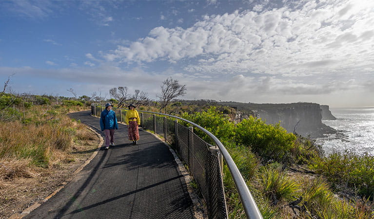
You've made it. Fairfax Lookout delivers a 200-degree panorama: ocean cliffs, the harbour, the CBD skyline, South Head, the Pacific beyond. Beside it, Australia's Memorial Walk — five sandstone monuments commemorating service in colonial wars, WWI, WWII, post-1945 conflicts, and peacekeeping — lined with paving stones carved with the names of those who served.
North Fort was the command centre of Sydney's harbour defence network. The plotting room — a concrete bunker concealed in the bush — received data from observation posts around the harbour and calculated firing solutions using optical rangefinders and mechanical computers, cutting-edge for 1936. The Harbour Trust runs the Defence of Sydney Tour on Sundays (10:30am and 11:30am, $15 adults / $11 children) which takes you into the underground tunnels and plotting room. It's worth it.
There's also a plaque acknowledging the Gayamaygal people as traditional custodians of the headland, installed by the Harbour Trust — a reminder that the deep history here predates all the military hardware around you.
Getting Back
Three options: retrace your steps on foot (mostly downhill, adds about 3 km), catch the 161 bus from the North Fort car park to Manly Wharf (every 30 minutes on weekdays, check transportnsw.info for weekends), or walk down North Head Scenic Drive to Q Station (about 1 km) for a drink at the Boilerhouse Bar.
Tips
- Start early. The Manly Beach promenade gets busy by 10am on weekends. An 8am start gives you the path mostly to yourself.
- Bring swimmers. Shelly Beach at Stop 5 is the perfect cool-down halfway through.
- Whale season is May to November. Stops 6 and 10 are both excellent watching positions. Binoculars help.
- The climb behind Shelly Beach is the hardest part. After that, the terrain is largely flat.
- Don't rely on the Visitor Centre for water. It's volunteer-run and doesn't always open. Fill up at the bubbler on Manly Beach promenade between Stops 3 and 4.
A Note on Respect
You're walking through a place where people lived, died, were born, and held ceremony for longer than recorded history. The gun emplacements are interesting, but the middens are deeper. Treat the cemetery with the quiet it deserves. The Gayamaygal are not a historical artefact — their culture is alive and evolving on this land today.